Plot-Based
Agricultural Insurance
Agritask enables agricultural insurance companies and reinsurers to use geospatial risk analysis to enhance underwriting, monitoring, claims management, and damage assessment processes.




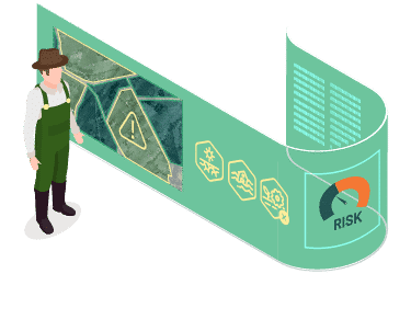
Accurately profile
agricultural risk
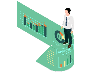
Monitor remotely
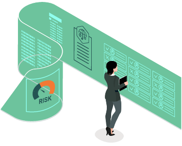
Enable smart inspection
Multi-indicator Plot-level Risk Profiling
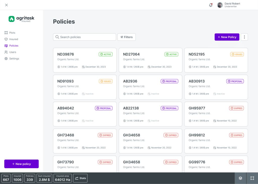
Risk-based underwriting for agricultural insurance, making use of multiple geospatial risk data at the plot level.
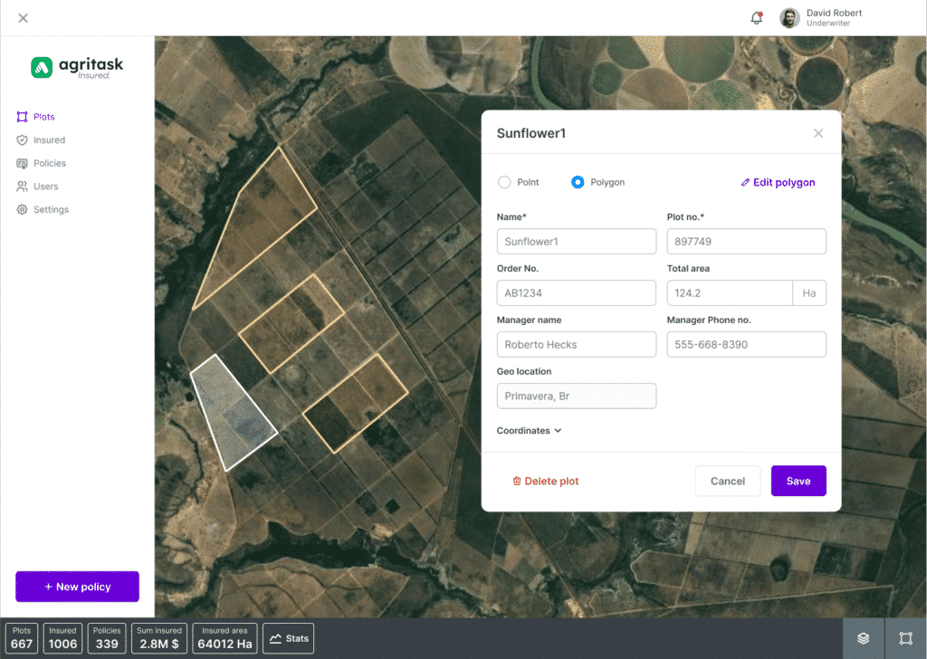
- Farmer onboarding including polygon registration
- Location-specific risk analysis based on historical risk data specific to each plot
- On-field quotation and historical payout simulation
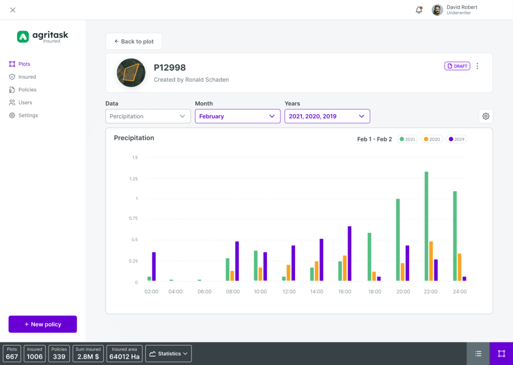
In-season Remote Monitoring
Get ahead of potential claims with real-time visibility into insured plots.
- Real-time satellite and weather monitoring throughout the season
- Alerts of deviations from expected growth and weather patterns to anticipate upcoming claims
- Prioritize field visits where gaps are identified between claims and monitored data
Quality Control Field Inspections
Accurate, timely data flow from field inspection teams to
streamline compliance check and claims management.
- Digitized field inspection protocols such as damage assessment and yield estimation
- Managing field inspection activities including task and route assignments and receiving location and timestamp per visit
- Option for growers to submit claims directly from the app, while receiving additional value from insurers, such as remote sensing data
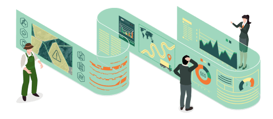
Agronomic Intelligence Can Transform Your Business
Agritask has been revolutionizing agricultural insurance around the world.
Our experts would love to show you how
Expert Insights from the Ground Up
The Agri-Insurance Conundrum
Agricultural insurance has been trailing behind in its ability to provide personalized underwriting and accurate risk assessments. As a result, the people most in need of insurance are unable to afford it.
Is it simply a matter of finding the right tools?

